
UtilityScan DF


 This product is no longer available, but we have your back!
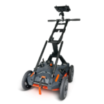
UtilityScan DF
Locate and Map Underground Utilities
UtilityScan DF incorporates our innovative dual-frequency digital antenna (300 and 800 MHz) and an easy-to-use touchscreen interface to view shallow and deep targets simultaneously in a single scan.
-
Max Depth
7 m (21 ft)
-
Antenna Frequency
300/800 MHz
-
Weight
51-66 lbs (cart dependent)
-
Storage Capacity
128 GB
-
Optional Software
-
Accessories
Sunshade for Panasonic G2, LineTrac
- Utility detection
- Environmental assessment
- Damage prevention
- Geological investigation
- Archaeology
- Forensics
- Road inspection
- 300/800 MHz DF antenna
- Panasonic G2 Toughpad
- Choice of 2-wheel or 4-wheel cart
- 2 m digital control cable
- Transit case
- Lithium-ion battery (2)
- Dual-bay battery charger
- 2-year warranty

-

Target Designation
The UtilityScan DF features real-time data collection. This portable GPR unit has a backup cursor and cross-hair cursor that allows the user to confidently mark targets.
-

Premium Mobility
UtilityScan DF has two different cart options to enhance ease of use on all job sites. The four-wheel rugged cart is built to withstand the toughest job sites, while the two-wheel cart is lightweight and easy to transport.
-

Enhanced Software Capabilities
There are several modes to view collected data. Our patented blend mode combines high resolution near-surface data with lower depth details into one ‘blended’ data set.


| Display | 10.1” |
| Environmental Rating | IP 65 |
| Display Modes | Linescan, Dual and Blend Mode |
| Available Ports | USB 3.0, Ethernet and Serial |
| Languages | English and French |
| Operating Temperature | -10°C to 50°C (14°F to 122°F) |
 UtilityScan DF Brochure
LineTrac
LineTrac adds the ability to detect AC power and induced RF energy present in buried utilities. This accessory is compatible with the 300/800 DF antenna and the 350 HS antenna.
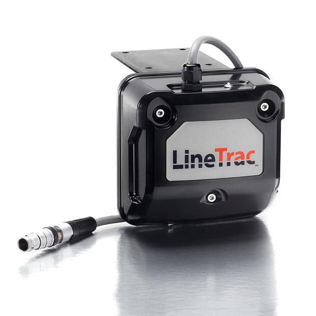
LineTrac adds the ability to detect AC power and induced RF energy present in buried utilities. This accessory is compatible with the 300/800 DF antenna and the 350 HS antenna.
- Designed to work with existing RD transmitters
- 20 Hz to 50 KHz active frequency bandwith
- IP65 rated enclosure
- Seamless fusion with GPR data

EMLID Reach RS2+
The Reach RS2+ is a survey-grade-capable GPS that operates as a single unit or in base/rover mode with two units. The RS2+ is compatible with UtilityScan, UtilityScan Pro, UtilityScan DF/HS, 200 HS antenna, RoadScan, and PaveScan 2.0.
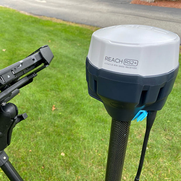
The Reach RS2+ is a survey-grade-capable GPS that operates as a single unit or in base/rover mode with two units. The RS2+ is compatible with UtilityScan, UtilityScan Pro, UtilityScan DF/HS, 200 HS antenna, RoadScan, and PaveScan 2.0.
Geode GPS
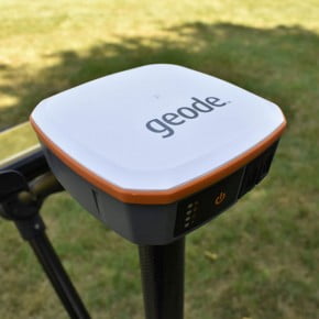
The Geode GPS is a Multi-GNSS with 9-pin serial port, 1 Hz model. The Geode GPS is compatible with the UtilityScan, PaveScan RDM 2.0 and SIR 4000 based systems.
*Not RTK-enabled
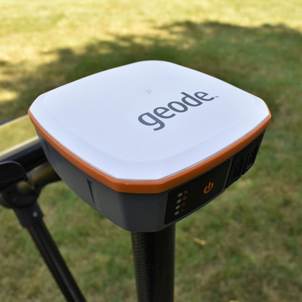
The Geode GPS is a Multi-GNSS with 9-pin serial port, 1 Hz model. The Geode GPS is compatible with the UtilityScan, PaveScan RDM 2.0 and SIR 4000 based systems.
*Not RTK-enabled

GPS Tripod
The GPS tripod is constructed with carbon fiber tubing and ram mount fixings. It is compatible with both GSSI’s 3-wheel and 4-wheel carts.

The GPS tripod is constructed with carbon fiber tubing and ram mount fixings. It is compatible with both GSSI’s 3-wheel and 4-wheel carts.