Environmental

Environmental

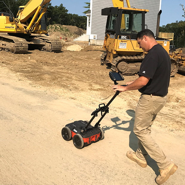
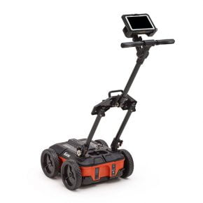
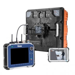
The key to a comprehensive environmental assessment is the subsurface investigation. Ground penetrating radar (GPR) plays an integral part by providing a non-intrusive means of examining the subsurface for environmental hazards such as soil contamination, underground storage tanks and drums. GPR can delineate landfills and pathways for contaminant flow, as well as conduct hydrogeologic investigations such as water table mapping.
Environmental Assessment
  • Site Assessment
  • Underground Storage Tanks (USTs) and Drums
  • Water Table Mapping
Environmental Utility Locating
  • Utility Mapping
  • Drilling Clearance
  • Landfill Delineation

Environmental Assessment

GSSI Solution - Environmental Assessment - Data Example 1

Environmental Assessment: Site Assessments

Environmental scientists and land developers use GPR and EM to assist in their redevelopment efforts. These proven geophysical methods allow professionals to conduct a non-invasive investigation of the surface at a relatively low cost.

This data shows a clearly defined boundary of potential toxic chemicals. The red line is a pipe that runs along the left edge of the data set. This data was collected with a 400 MHz antenna and post-processed in RADAN 7.

Environmental Assessment: Underground Storage Tanks (USTs) and Drums

Civil engineers, environmental consultants and environmental remediation specialists use GPR and EM to locate the position and impact of underground storage tanks.

2D GPR profile shows 4 USTs from a Mobil gas station in Colchester, Vermont. Traditional USTs were constructed in steel, recently they have been modernized to fiberglass. This data image is an example of fiberglass USTs, the GPR can denote the top of the UST as well as the ‘product’ levels it contains.

GSSI Solution - Environmental Assessment - Data Example 3

Environmental Assessment: Water Table Mapping

Hydrogeologists use GPR to determine the depth to water table and to identify potential pathways for subsurface flow.

This data illustrates a well-defined water table. Elevation data has been corrected using topography data in RADAN 7. Data was collected with the SIR 4000 and 200 MHz antenna.

Environmental Utility Locating

GSSI Solution - Environmental Utility Locating - Data Example 1

Environmental Utility Locating: Utility Mapping

Utility locators and engineers can locate the depth and position of metallic and non-metallic pipes in real time using ground penetrating radar technology. GPR can enhance one’s overall understanding of subsurface targets and obstructions.

Data illustrates a 3-dimensional view of a survey of existing and abandoned utilities presented in RADAN 3D. Note the broken linear feature that denotes an abandoned utility. Data collected with a 400 MHz antenna.

GSSI Solution - Environmental Utility Locating - Data Example 2

Environmental Utility Locating: Drilling Clearance

Ground penetrating radar can detect what lies beneath the surface before drilling and trenching efforts. GPR technology allows users to safely identify subsurface features and utilities, and avoid costly or dangerous hits.

Data set shows three utilities at varying depths. Utilities are located just above a clearly defined bedrock horizon. This data was collected with a 400 MHz antenna.