Explore Our Range of Products
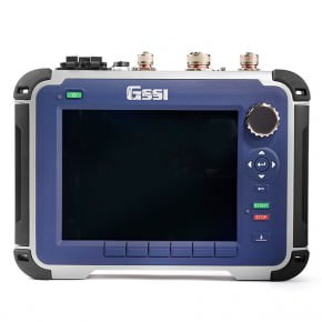
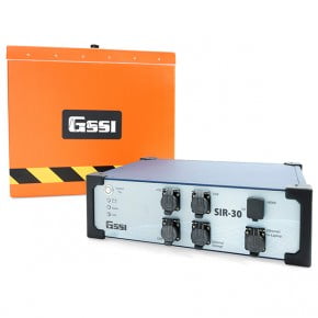
StructureScan Pro
The StructureScan Pro is a versatile concrete inspection system based on the SIR 4000, and offers a wide variety of antenna options for concrete applications.
Explore

StructureScan Mini XT
The StructureScan™ Mini XT is the tool designed for today’s professional concrete scanner and built to handle all your job site and survey needs.
Explore
StructureScan Mini LXT
The StructureScan™ Mini LXT is designed and built for the concrete contractor who needs to locate and mark targets in concrete.
Explore

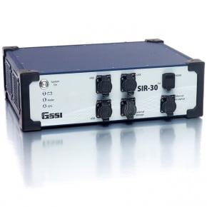
Utility Scan Pro
The UtilityScan Pro is a versatile utility locating system based on the SIR 4000, and offers several options for customization.
Explore

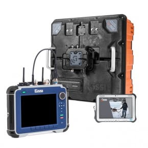
UtilityScan
UtilityScan is an indispensable tool for utility locating professionals around the world to easily and accurately map utilities in real-time.
Explore

UtilityScan DF
The UtilityScan DF incorporates our innovative dual-frequency digital antenna (300/800 MHz) and a touchscreen interface to view shallow and deep targets in a single scan.
Explore
200 HS Antenna
The 200 HS digital, wireless antenna is ideal for geophysical, geotechnical, and environmental applications that require high reliability under challenging survey conditions.
Explore

PaveScan RDM 2.0
The PaveScan RDM 2.0 uses the dielectric measurements of new pavement to determine pavement quality and uniformity.
Explore

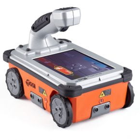
BridgeScan
The BridgeScan™ is a complete, affordable GPR system that is an effective tool for quickly determining the condition of aging bridge decks.
Explore