Transportation Infrastructure
Transportation Infrastructure
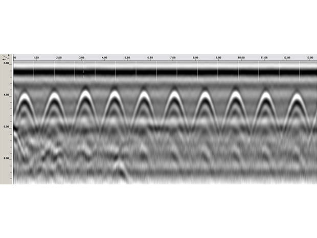
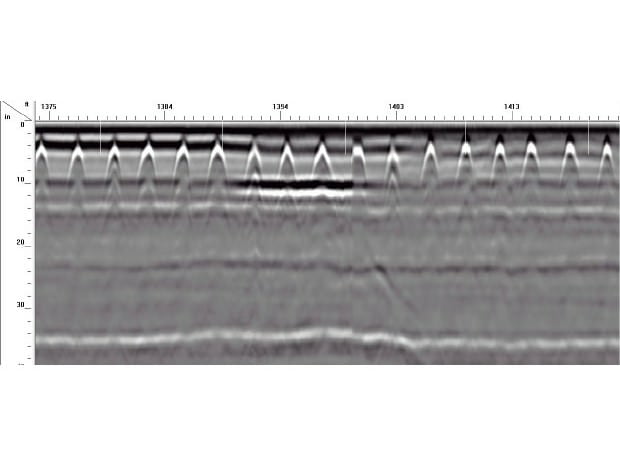
Highway professionals, engineers and transportation departments require a safe, reliable and non-destructive method to evaluate roads and bridges.
Pavement Analysis
- Nondestructive Pavement Evaluation
- Measure Uniformity
- Map Percent Voids
Road Inspection
- Asphalt Thickness
- Integrate with FWD
- Evaluate Base & Sub-base Layers
- Locate Voids
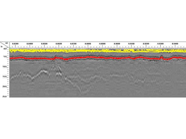
Bridge Inspection
- Condition Assessment
- Access Concrete Cover
- Measure Bridge Deck Thickness
- Concrete Inspection

Asphalt Density Testing


Road Inspection


Bridge Inspection