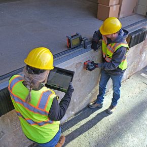
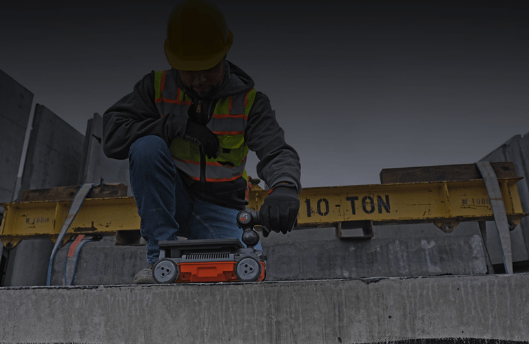
The New Standard in Concrete Scanning
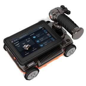
Explore Flex NX

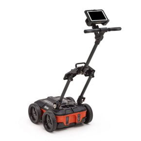
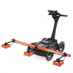
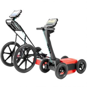
Simple. Flexible. Trusted.
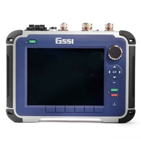
Flex NX®, powered by Nexus™ is the industry’s most powerful and complete concrete scanning system.
Explore Flex NX
Play Video


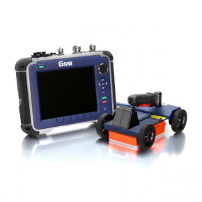
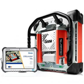
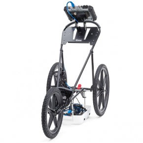
Explore Our Range of Products


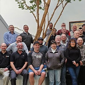
Updates From Around GSSI
Upcoming Training Events