TerraVision LGPR
-
 Imagine
Current navigation methods for autonomous vehicles include multiple sensors that scan the surface features of the road and its environment. Among the many technologies used, such as LIDAR, RADAR, cameras, and GPS, and their various subsystems, each instrument provides various grades of accuracy, consistency, and availability. Each of which requires the successful mapping of surface details. An idea was made- What if we used subsurface features to localize the vehicle location?
-
 Investigate
Engineers at MIT Lincoln Laboratory developed Localizing Ground-Penetrating Radar (LGPR), and have demonstrated that changes in soil layers, rocks and road bedding can be used to localize vehicles to centimeter level accuracy.
-
 Implement
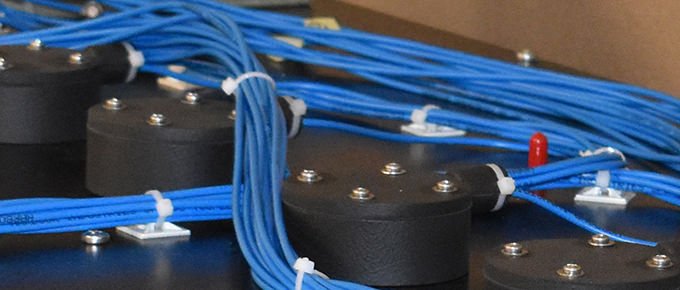
In 2017, GSSI entered into a licensing agreement with MIT Lincoln Laboratory to build and sell commercial prototypes of their Localized Ground Penetrating Radar (LGPR) system. The prototype sensor uses step continuous wave frequency radar, consisting of a high-resolution 12 antenna array system.
-
 Impact
LGPR, if proven successful, will offer an alternative technology whose data is relatively immune to weather conditions; is generally unchanging, since it measures subsurface soils and geology; and is independent of the above-ground references on which other modalities depend.
-
 Invent
Since the initial prototype, GSSI engineers have been hard at work to invent new paths for LGPR technology. This includes exploring new applications and untested grounds. We’ve completed level 2 autonomous driving tests in the summer of 2019 and look forward to New England’s cold weather months.
-
 Innovate
Our engineers, starting with an initial prototype from MIT, solved key technical problems, and then innovated new technological advancements to increase system efficiencies. Additionally, the team has miniaturized key components, cutting the overall size of the system in half, enhancing performance, and giving our partners more flexible deployment options.
-
The use of Terravision by Geophysical Survey Systems, Inc. is unrelated to Terravision Ltd, a company with a registered trademark in the United Kingdom and European Union.
