Geology & Geophysics

Geology & Geophysics
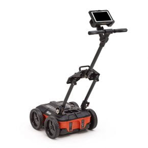
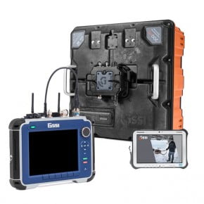
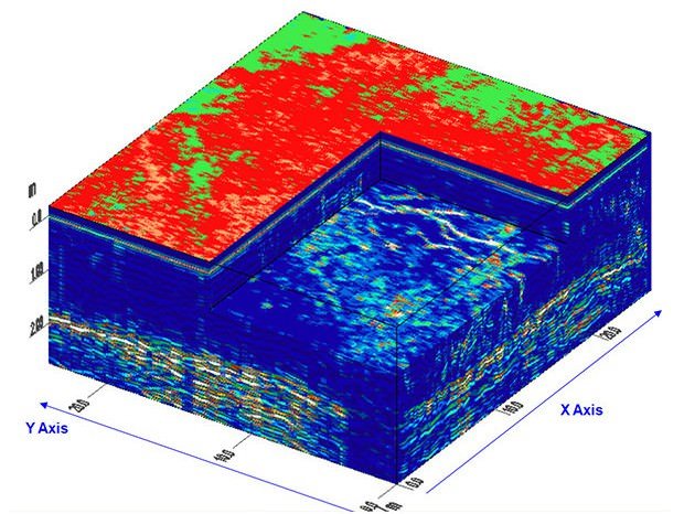
Ground penetrating radar (GPR) offers an accurate, non-destructive solution to mapping the subsurface of the earth. With GSSI GPR antennas, it is simple to locate features of interest and subsurface layers in real time, up to 100 feet or more.
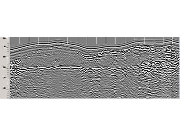
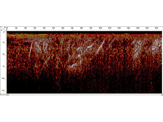
Geology
- Water Table Mapping
- Bedrock Profiling
- Bathymetry
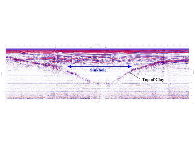
- Sinkhole Areas
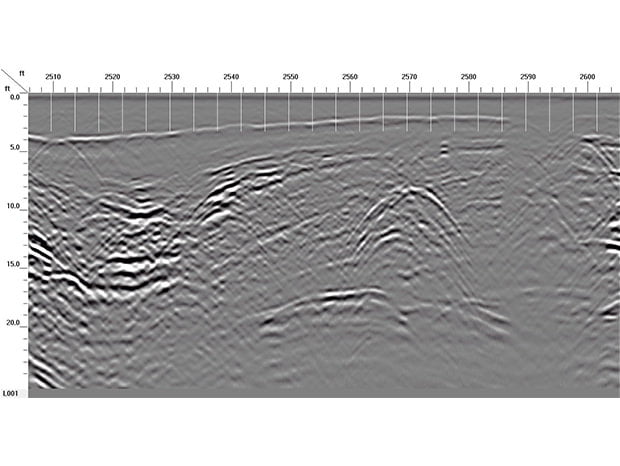
- Stratigraphy
Agriculture & Forestry
- Golf Course Maintenance
- Tree Assessment
- Drainage Tiles
Mining
- Mine Safety
- Mineral Exploration
- Salt Mining
Ice and Snow
- Ice Road Thickness
- Glaciology Studies
- Crevasse Detection

Geology

Agriculture and Forestry


Mining


Ice and Snow


